“The mountains are calling and I must go”, the quote from John Muir resonating as we drove from San Francisco towards the Sierra Nevada. I was finally going to Yosemite National Park, one of the country’s crown jewels and home to so many natural icons.
Route 41 going to the south entrance of the park
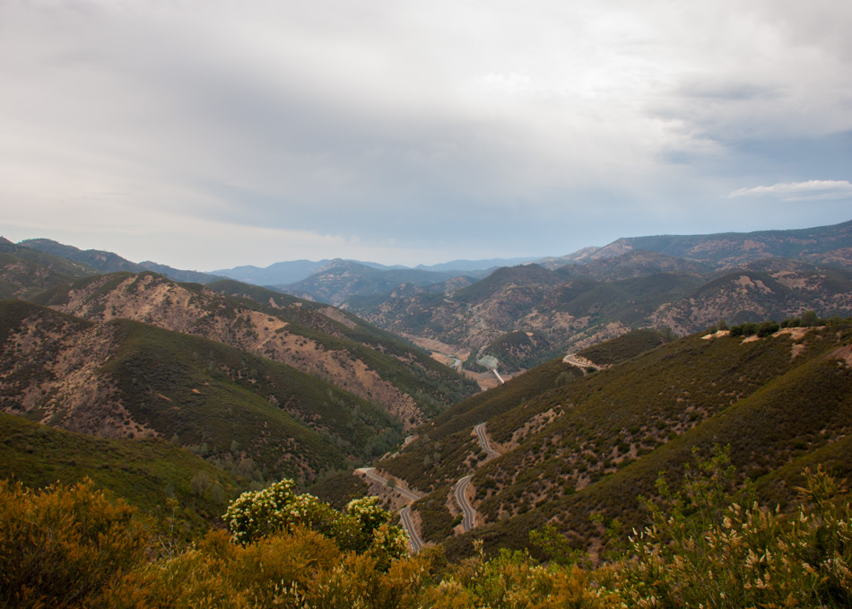
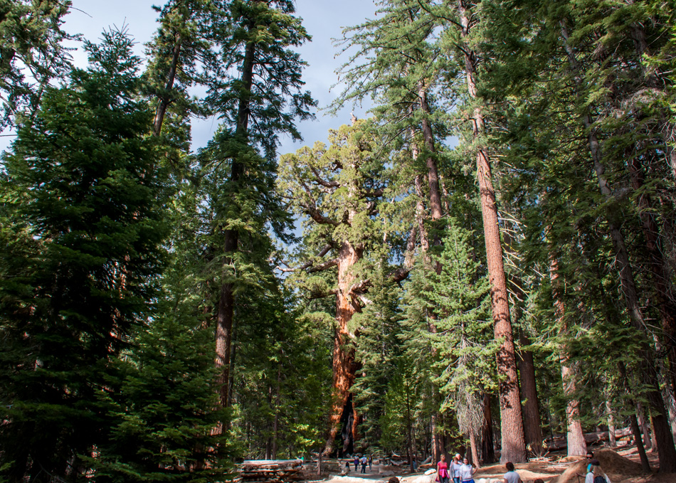
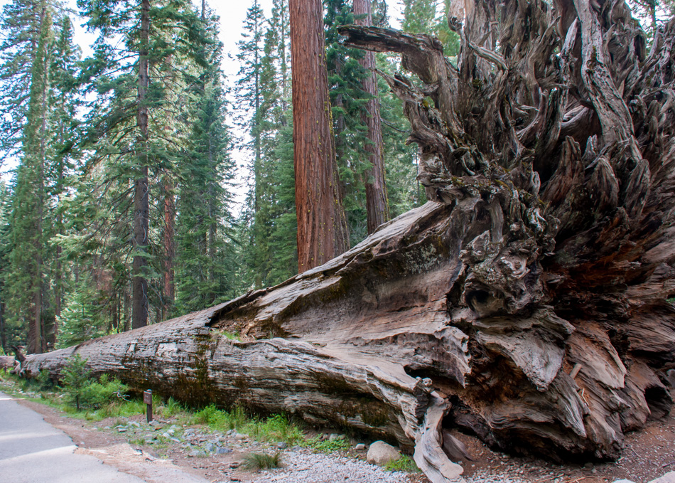
There are four ways to get into the park and we opted for the south road aka Route 41, mainly because we wanted to stop by the Mariposa Grove, home to 500 mature giant sequoias. It is now unfortunately closed until 2017 for restoration so we just made it in time!
Standing next to these prehistoric giants is awe-inspiring and the square-mile grove is surprisingly cool and quiet even on the busiest and hottest summer days.
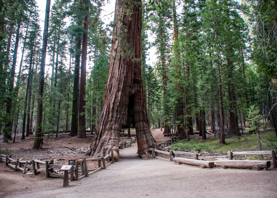
A few specimen are worth seeking out such as the California Tunnel tree which was cut in 1895 to allow coaches to pass through it.
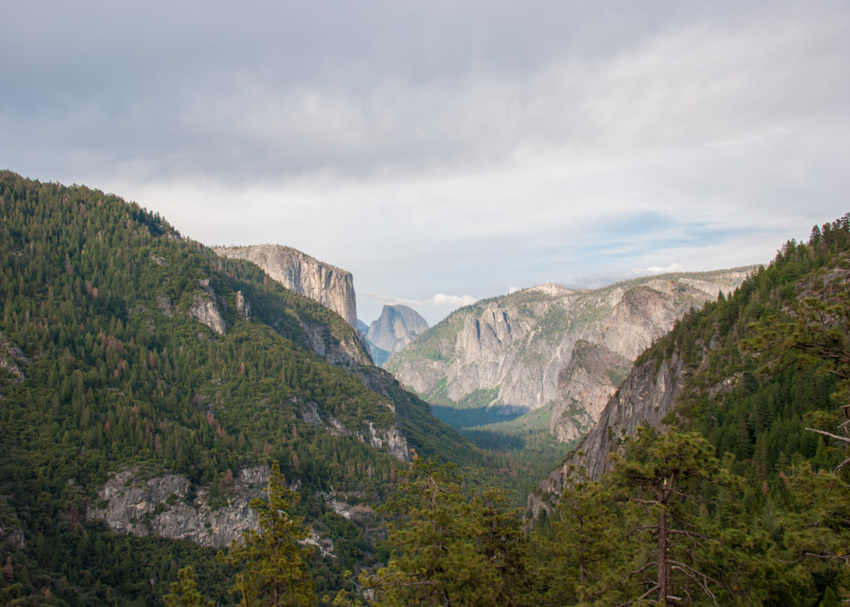
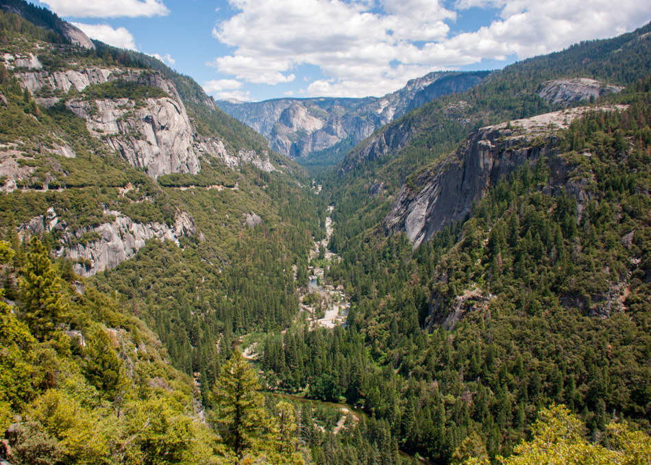
The south entrance to the park is near the grove so you can quickly get in and start making your way north for the hour-long drive leading to the Yosemite Valley and the village. In a little while you’ll be rewarded with one of your first glimpses of Yosemite Valley right after going through a tunnel, and what a glimpse it is… Unsurprisingly called the ‘Tunnel View’, it’s probably Yosemite’s most famous vista, packing in a lot of the park’s most famous landmarks such as (from left to right): El Capitan, Half Dome, Sentinel Rock, Sentinel Dome, and Bridalveil Fall.
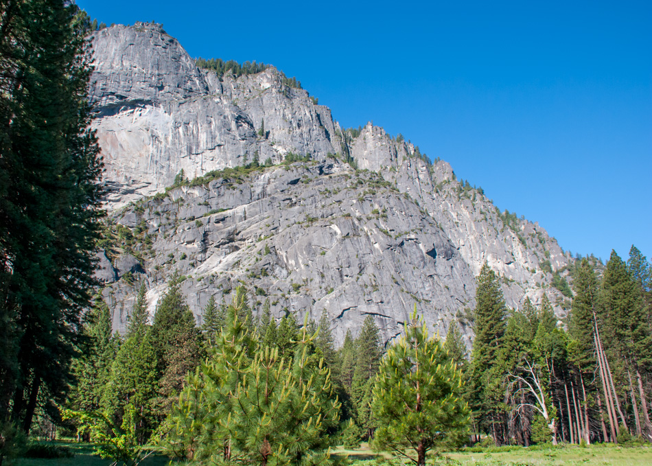
Soon afterwards the road will start going down and the wow factor will continue as you reach floor level and look up at those sheer and high valley walls Yosemite is mostly famous for.
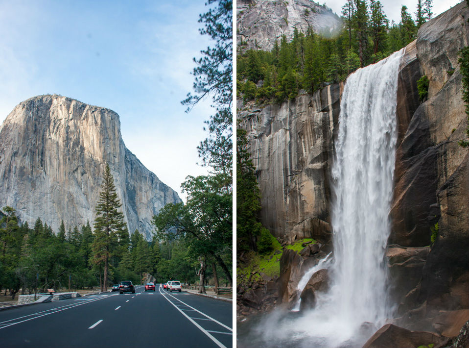
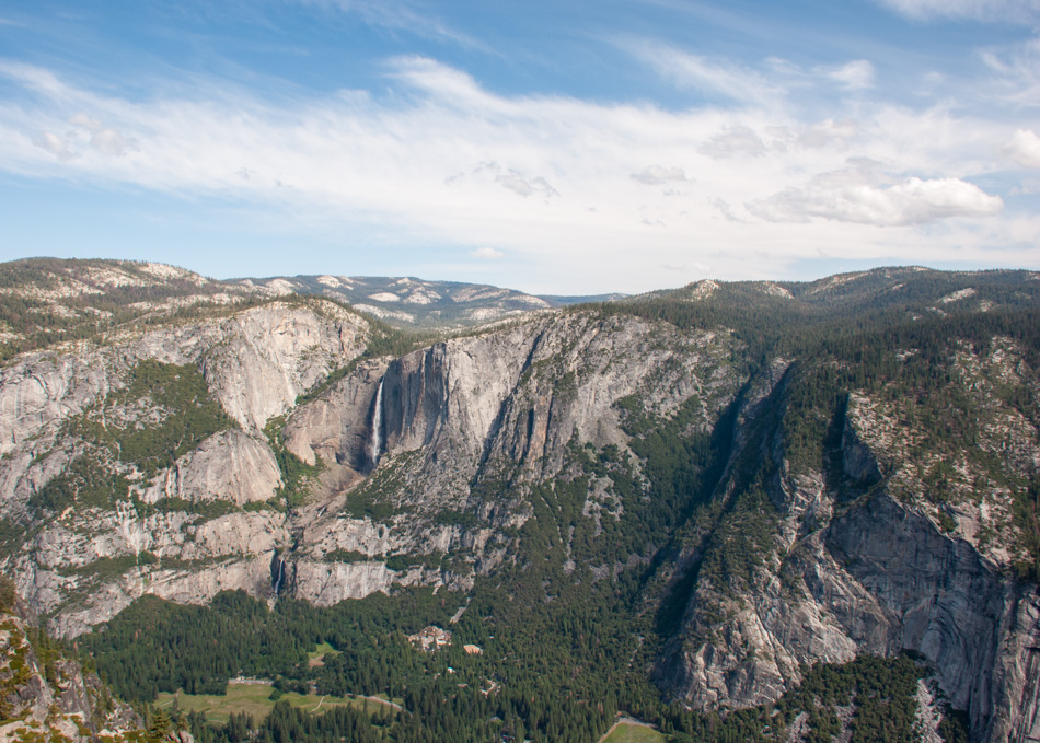
The mountain-climbing mecca of El Capitan rises more than 3,000 feet (900 meters) virtually straight up from the floor and on each side of the road you’ll be able to see waterfalls all the way to the village.
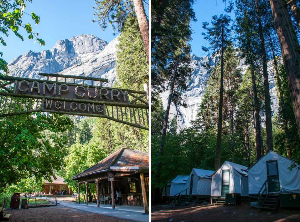
Accommodation in the park is probably the trickiest thing you’ll have to deal with, having only a few options between a tiny numbers of campgrounds requiring booking many months in advance and $400/night hotel rooms. It seems easier to go for the middle option and stay at Curry Village which offers basic tent cabins and a few eatery and shops for all your needs during your stay, and they usually have a bit more availability.
We settled in for an early night, ready for the big hike the next day.
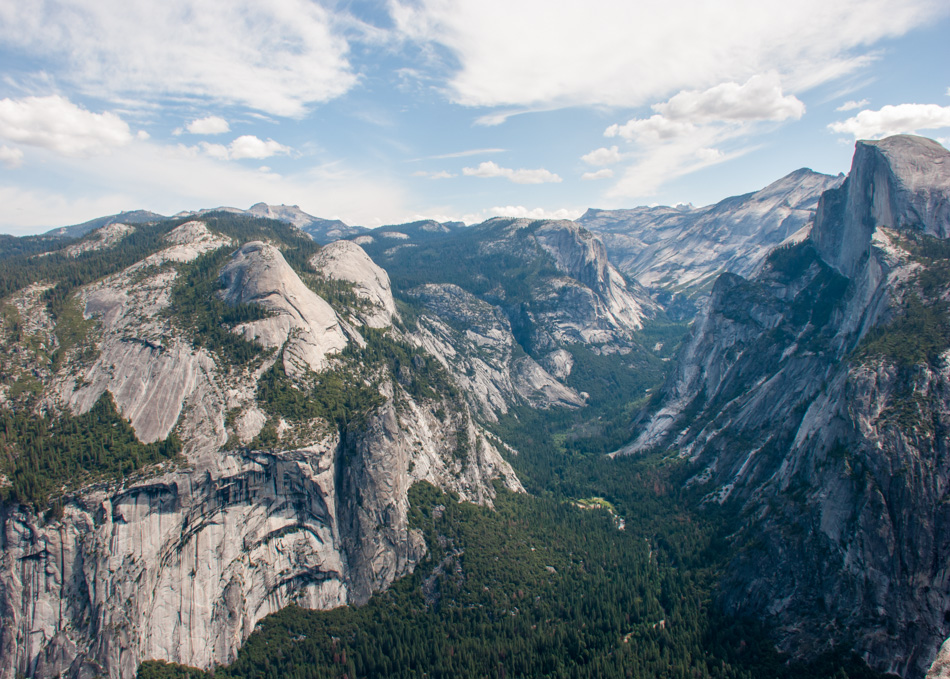
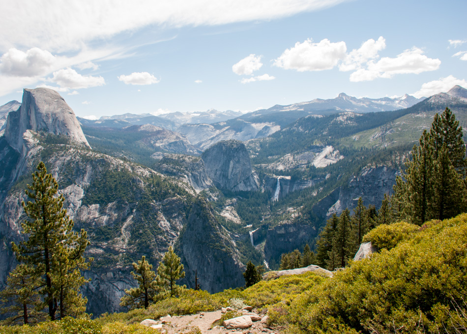
There are plenty of day hikes here from the easy to the strenuous but for a first-timer, it would be hard to beat the Panorama Trail which offers spectacular views throughout of Yosemite’s most famous landmarks. It’ll take you around 5-7 hours to cover the 8.5 miles though it’s mostly downhill and considered a ‘moderate’ hike. The easiest way to get to the start is to take the shuttle from the valley all the way up to Glacier Point, 3200 feet above the valley floor, where you’ll stay transfixed for a while on panoramic views of the valley.
The hike starts nearby Glacier Point and slowly descend under open skies with postcard views of the Half Dome for the first half hour. The iconic dome looms high at over 4,800 feet and if it looks familiar, it’s because it became the official logo of The North Face brand a while ago.
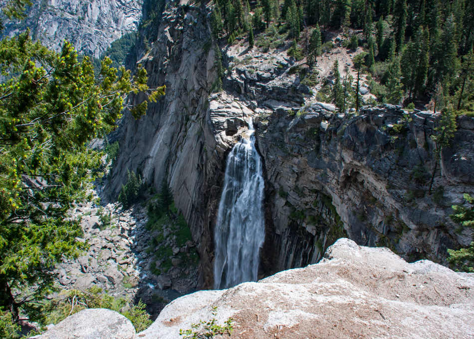
You’ll soon reach an overlook of Illilouette Falls, a ribbon of whitewater dropping 370 feet.
A bit further down you’ll cross Illilouette Creek over a bridge, a nice spot to freshen up.
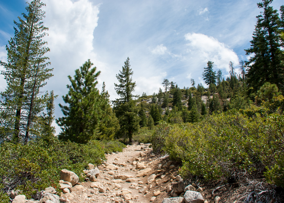
Next come the uphill portion of the hike in which you’ll climb 700 feet in about a mile and a half.
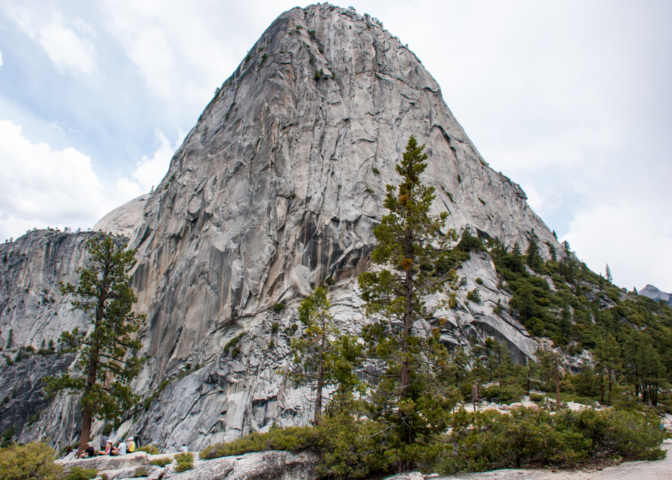
Once out of the forest you’ll come face to face with the granite dome of Liberty Cap.
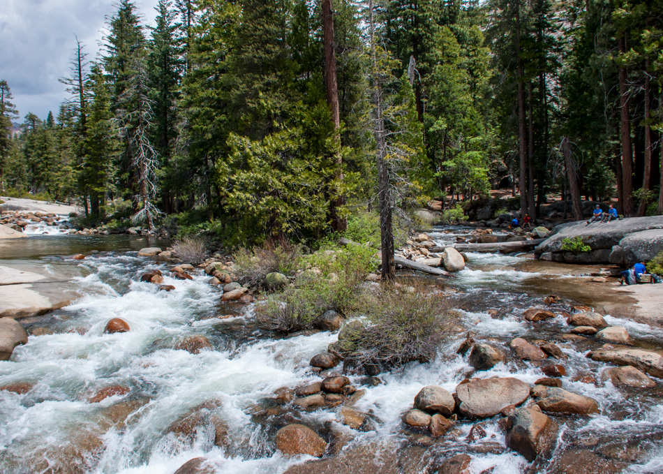
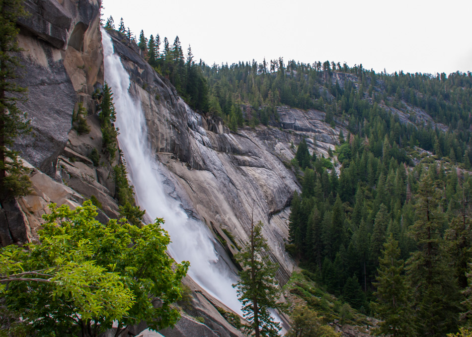
It’s the perfect lunch spot so grab a seat by the frothy spout of Nevada Falls and enjoy the views as well as the last relatively uncrowded moment as starting from here a lot of popular trails meet up.
The Merced River feeds the falls before dropping nearly 600 feet down.
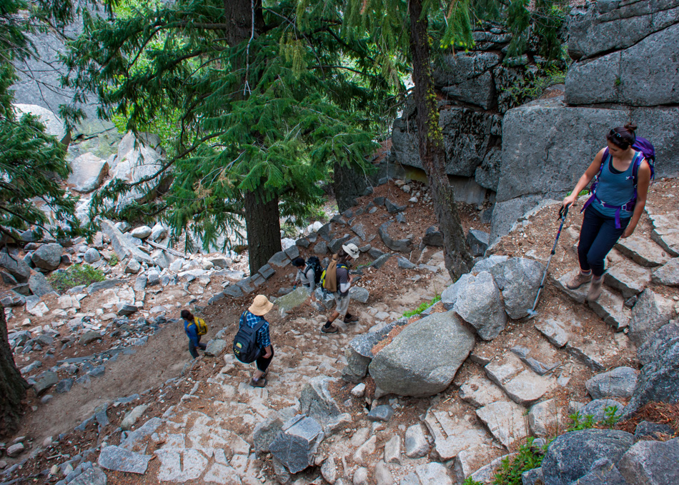
After crossing the river, turn left onto the popular Mist Trail and down a series of granite steps.
You’ll have side views of Nevada Falls as you go down.
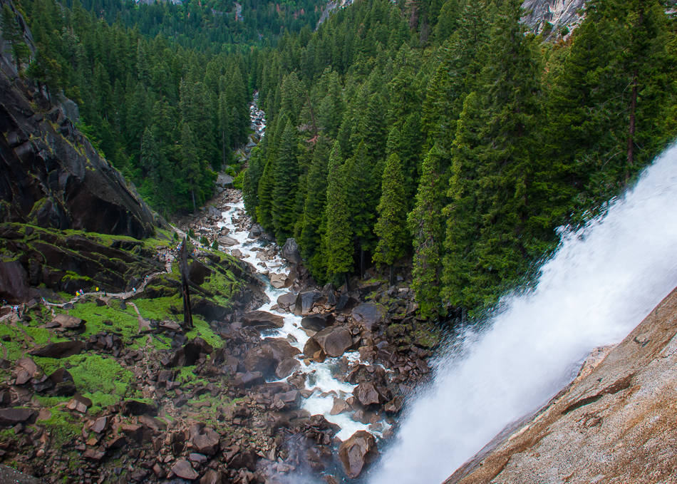
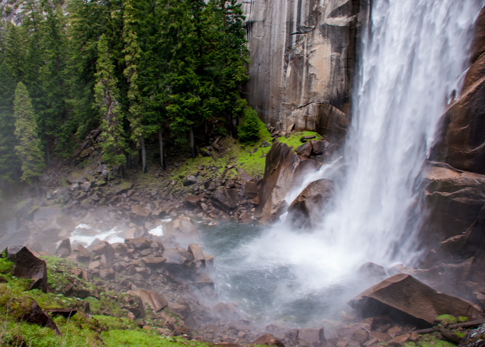
Soon after you’ll reach yet another waterfall – Vernon Fall (317 feet high).
Mist sprays onto the hikers as they go down this section which gave the trail its name (the Mist Trail). Be careful as the rocks get really slippery.
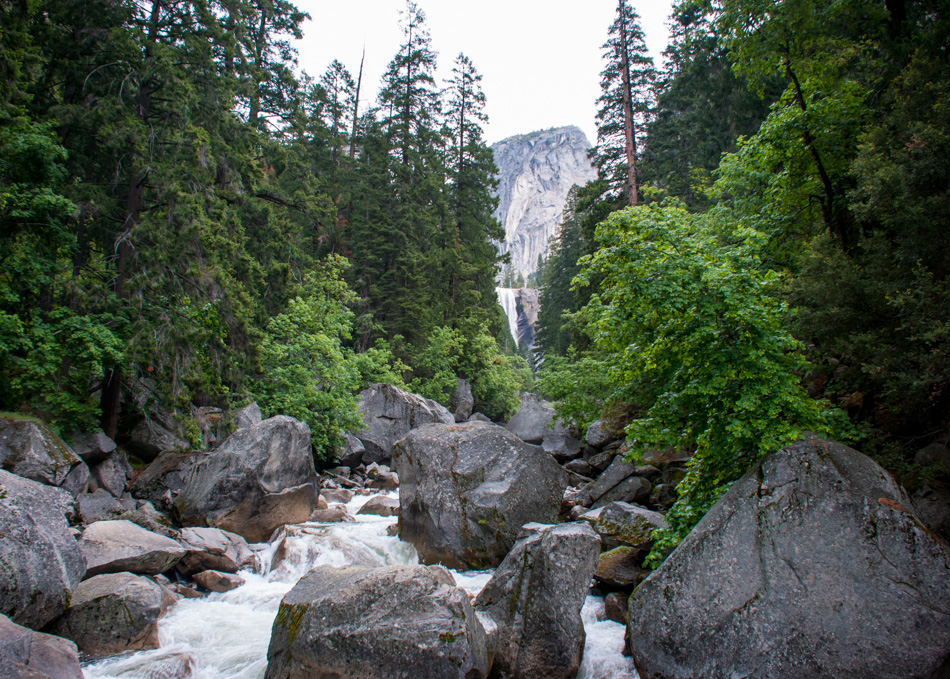
Catch a last glimpse of Vernal Fall from downstream as you make you way back to the village, following the river. Time for a good beer and a snack and if you still have some stamina, biking around the valley is a great way to end the day and see some more sights.
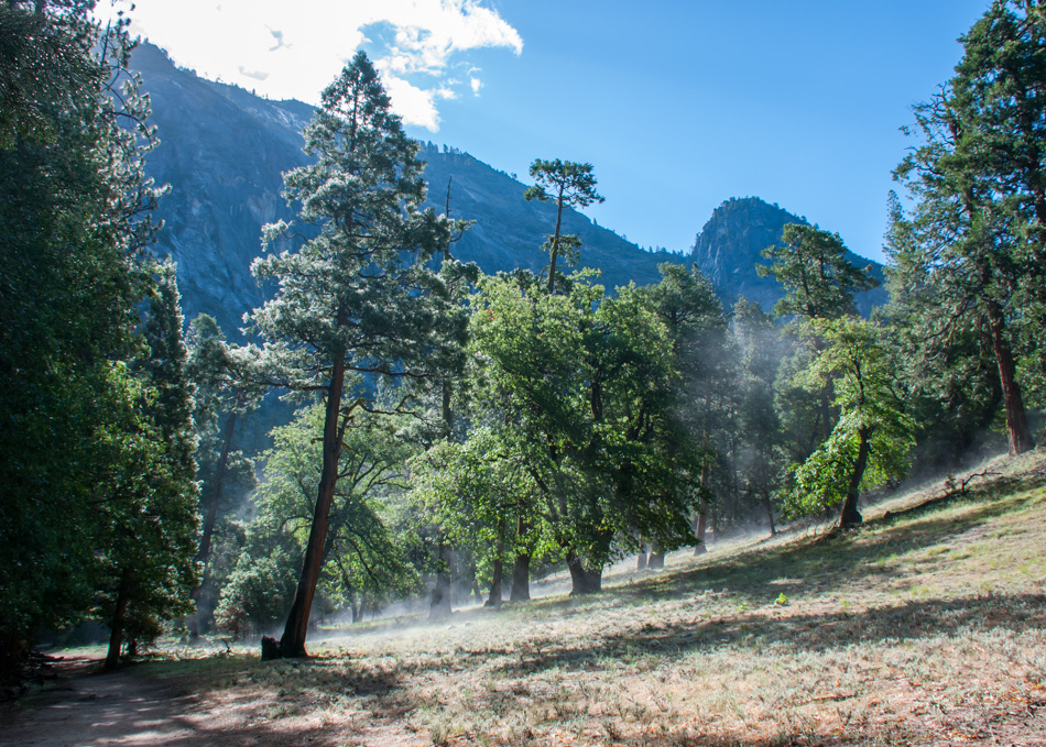
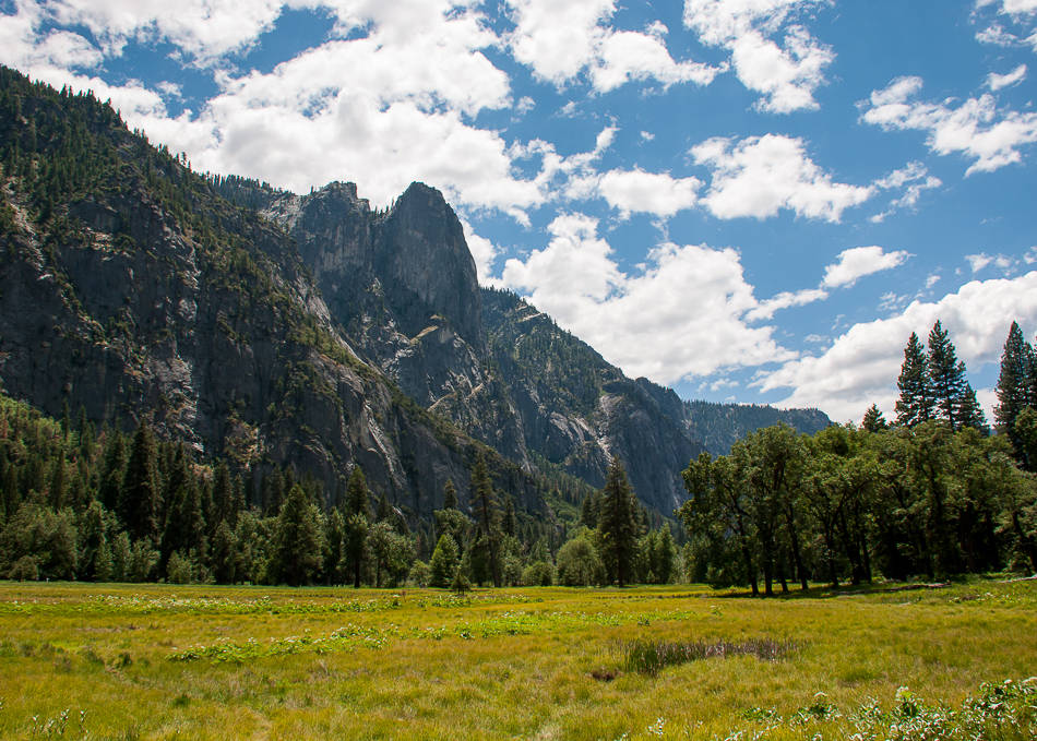
Early morning rise and shine in time to see the fog lifting out of the valley. While Yosemite is mostly visited for its high vistas and cliffs, the valley floor itself is uncommonly pretty and deserves some exploration.
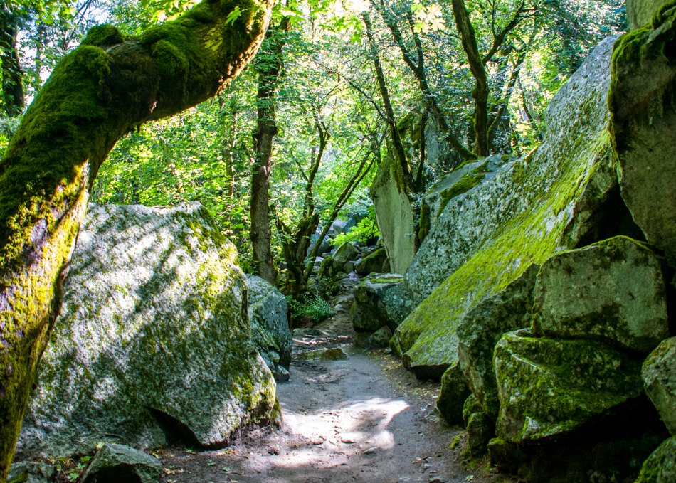
An easy trail is the one leading to Mirror Lake, passing streams and moss-covered forest.
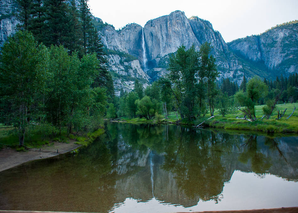
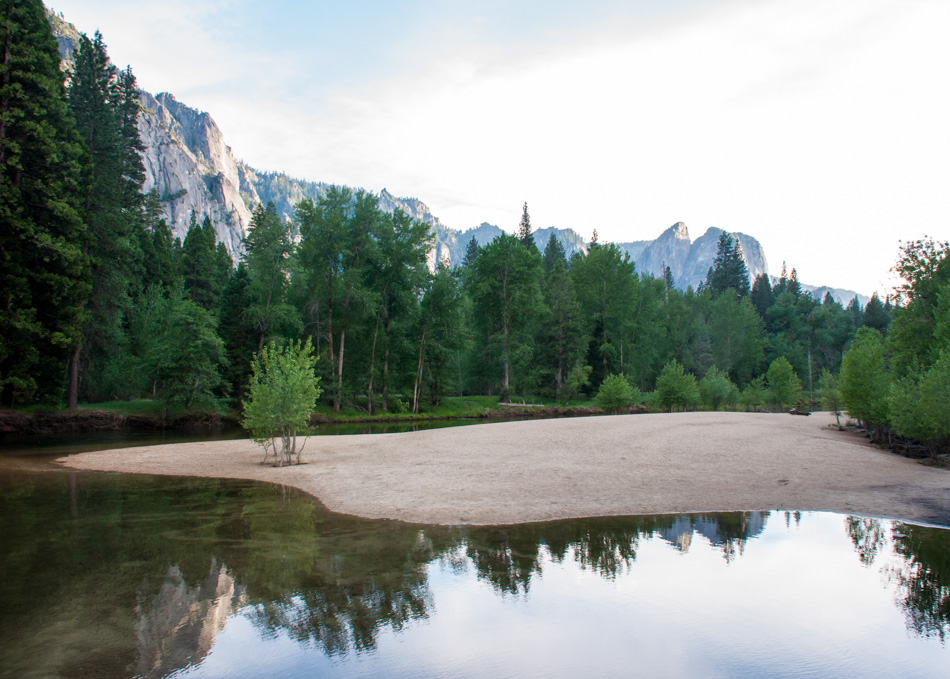
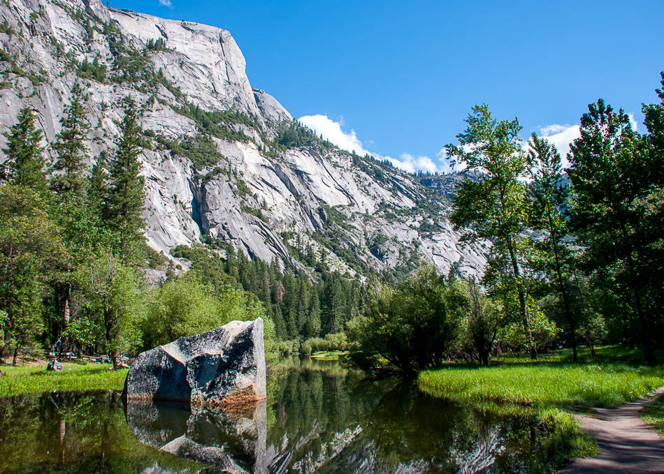
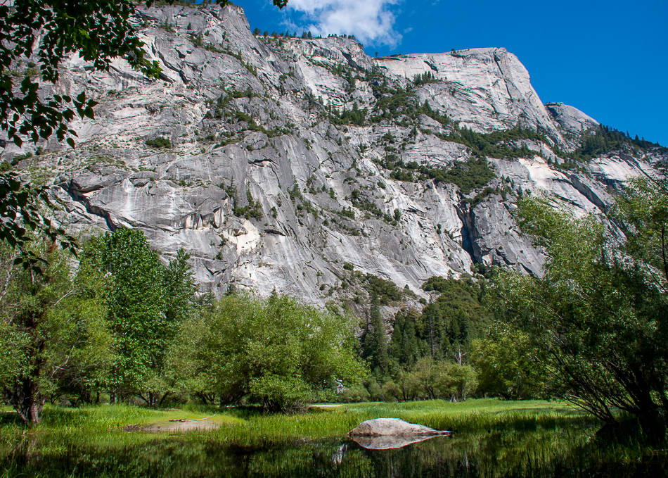
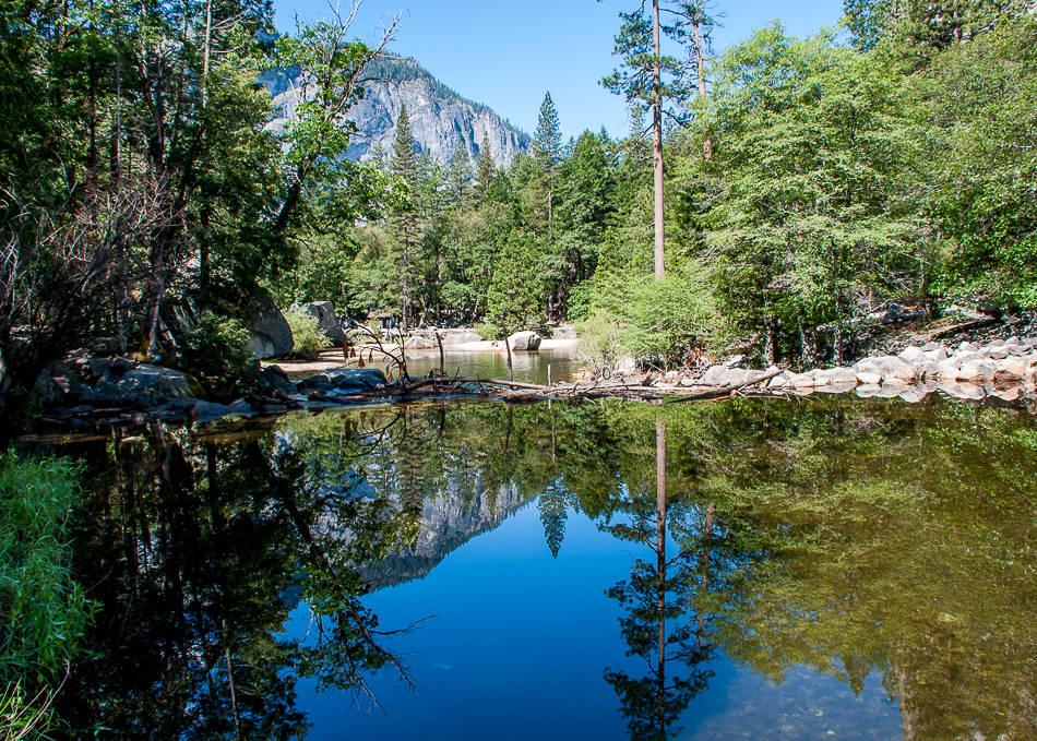
The small Mirror Lake is incredibly scenic with a perfectly still surface reflecting the cliffs high above.
It is the last remnant of a large glacial lake that once filled most of Yosemite Valley at the end of the last Ice Age.
Tiny beaches off its shores are perfect resting places so bring a book, some snacks, and bask in the serenity of it all for a few hours.
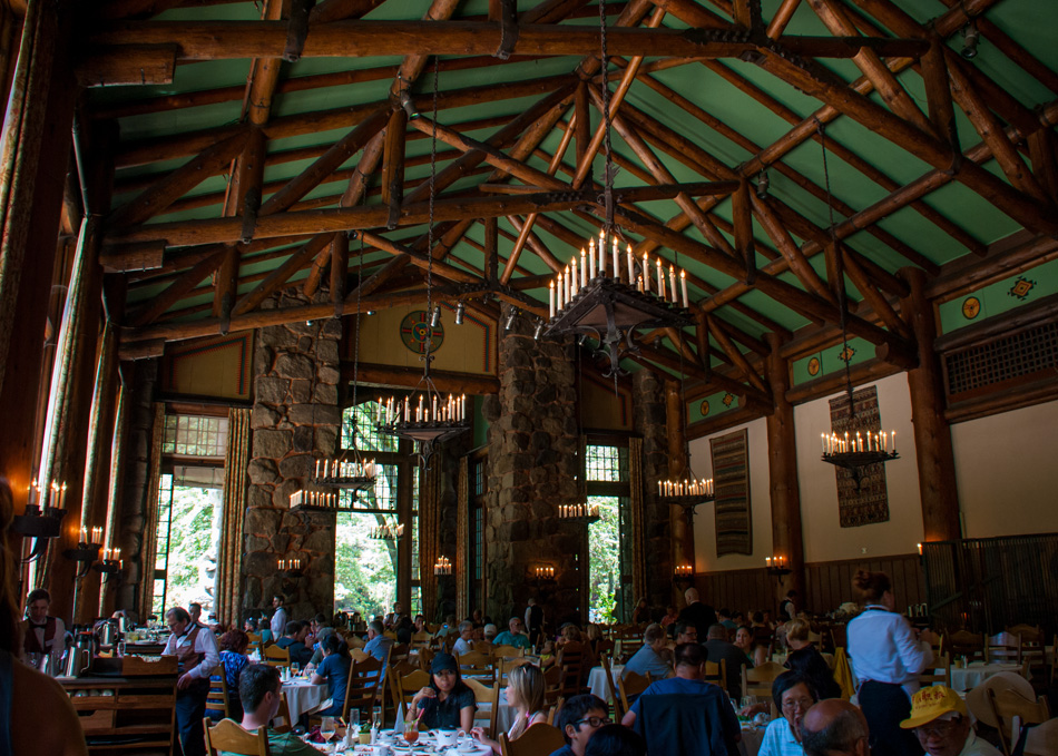
A great and well-deserved refueling stop before heading out of the park can be found at the Ahwahnee Hotel and its 34-foot beamed ceilings dining room.
A fancy buffet brunch feeds hungry hikers like myself pretty well…
We took Tioga Road on the way out for more amazing vistas and the conclusion that we had to come back… Yosemite is truly a freak of nature and must be experienced at many different levels!












Such grandeur.
The light and wonder well represented.